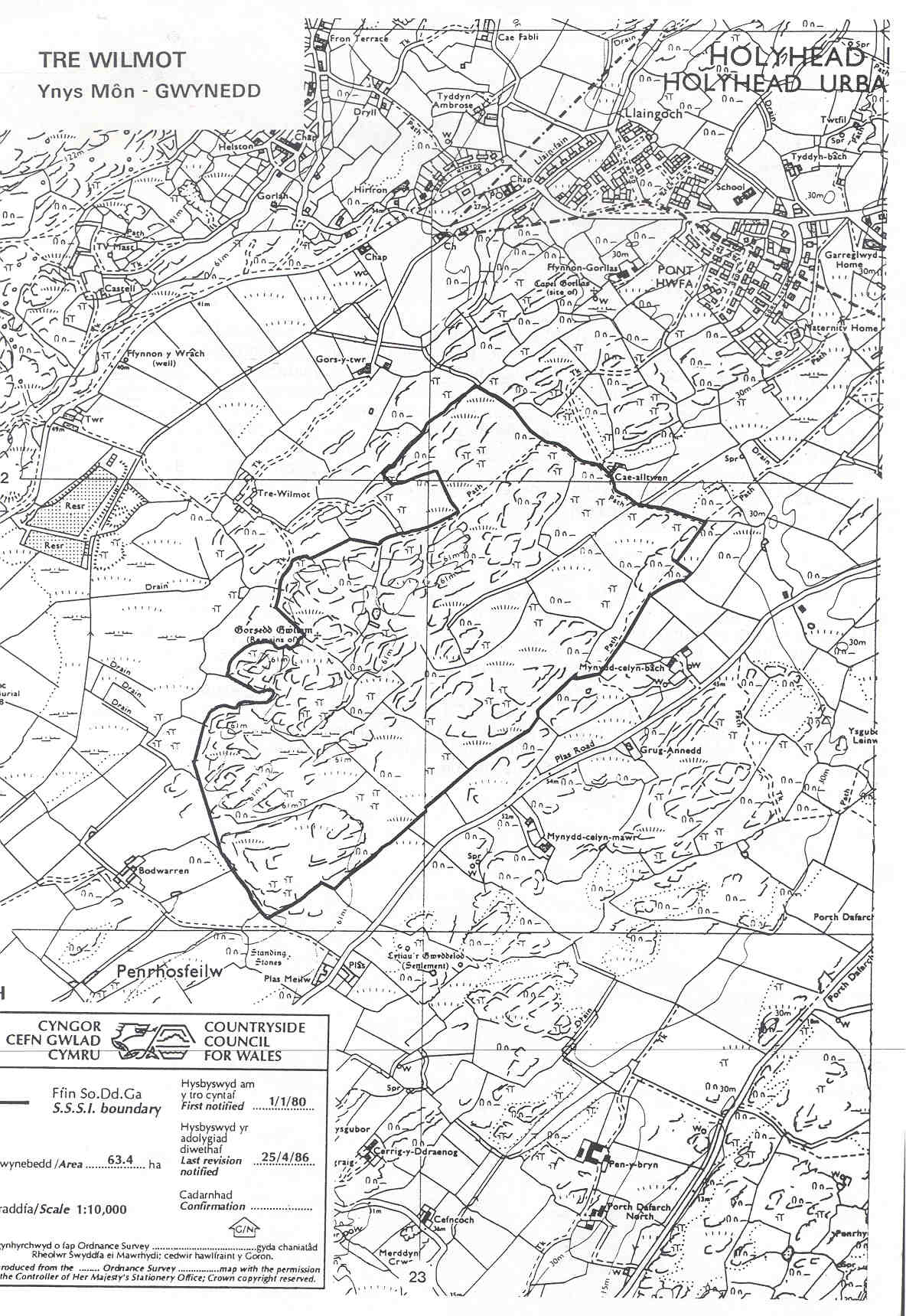
TRE WILMOT SSSI (SAC, SPA)
A maze of rock ridges and
intervening marshy ground support wet heath and mire with marsh
gentian, pillwort and three-lobed water crowfoot. Chough feed in
areas of short vegetation around rock outcrops or on recently burnt
ground. There is a public footpath along the northern boundary
and the area is designated open access land but the rocky ridges and dense vegetation make the terrain challenging.
Anglesey map
SSSI Citation
Potentially Damaging Operations list
Site Management Statement
Special Area of Conservation (SAC)
Special Protection Area (SPA)
Verical aerial photograph
Map reproduced
by permission of Ordnance Survey ® on behalf of the Controller of
Her Majesty's Stationery Office. © Crown copyright. All rights
reserved. License number 100044910.