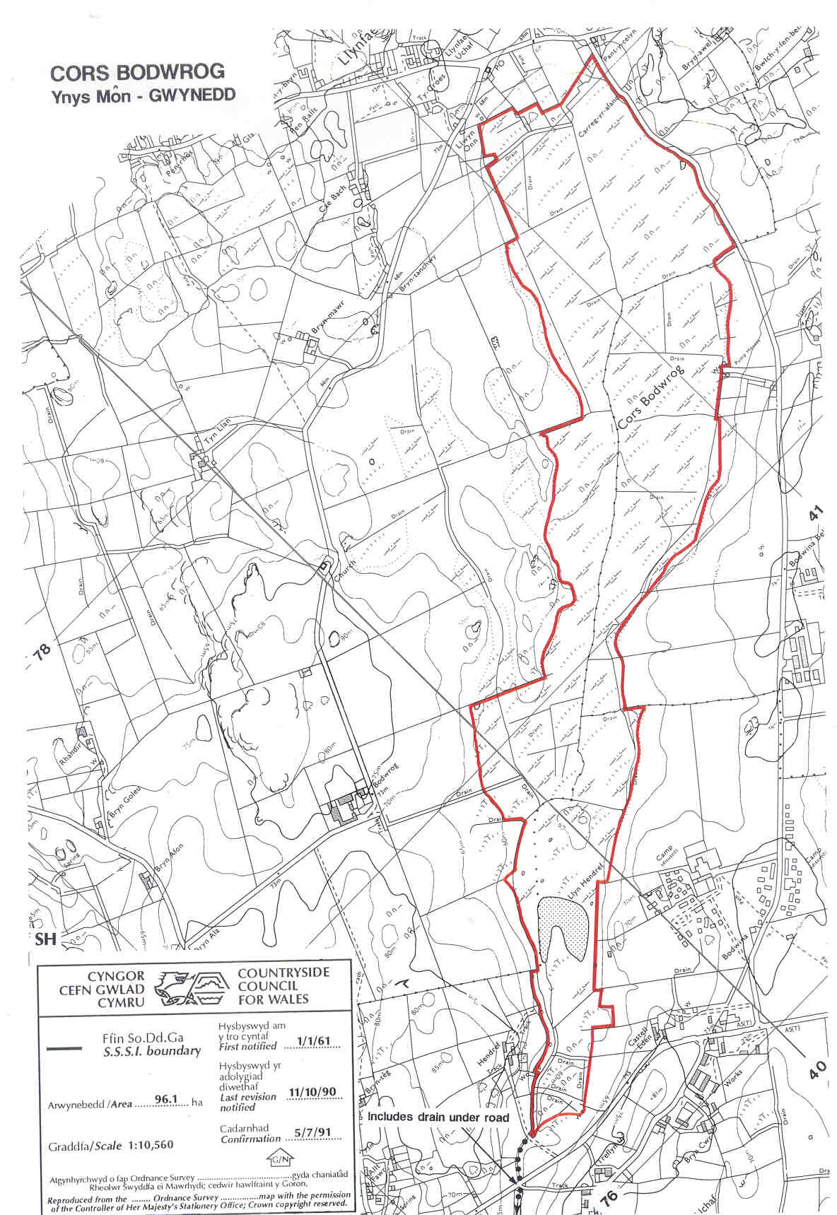
A large Valley mire which once included a 16ha lake, Llyn Hendref, until an agricultural drainage scheme in 1970 pulled the plug on it and left a degraded wetland, a 4ha lake and limited agricultural benefit. Interest remains however, especially in the former peat cuttings (abandoned after World War I) which support areas of fen and on small areas of the former acid peat surface and there remains the tantalising prospect of restoration of the lake and wetland. There is no public access.
Potentially Damaging Operations list