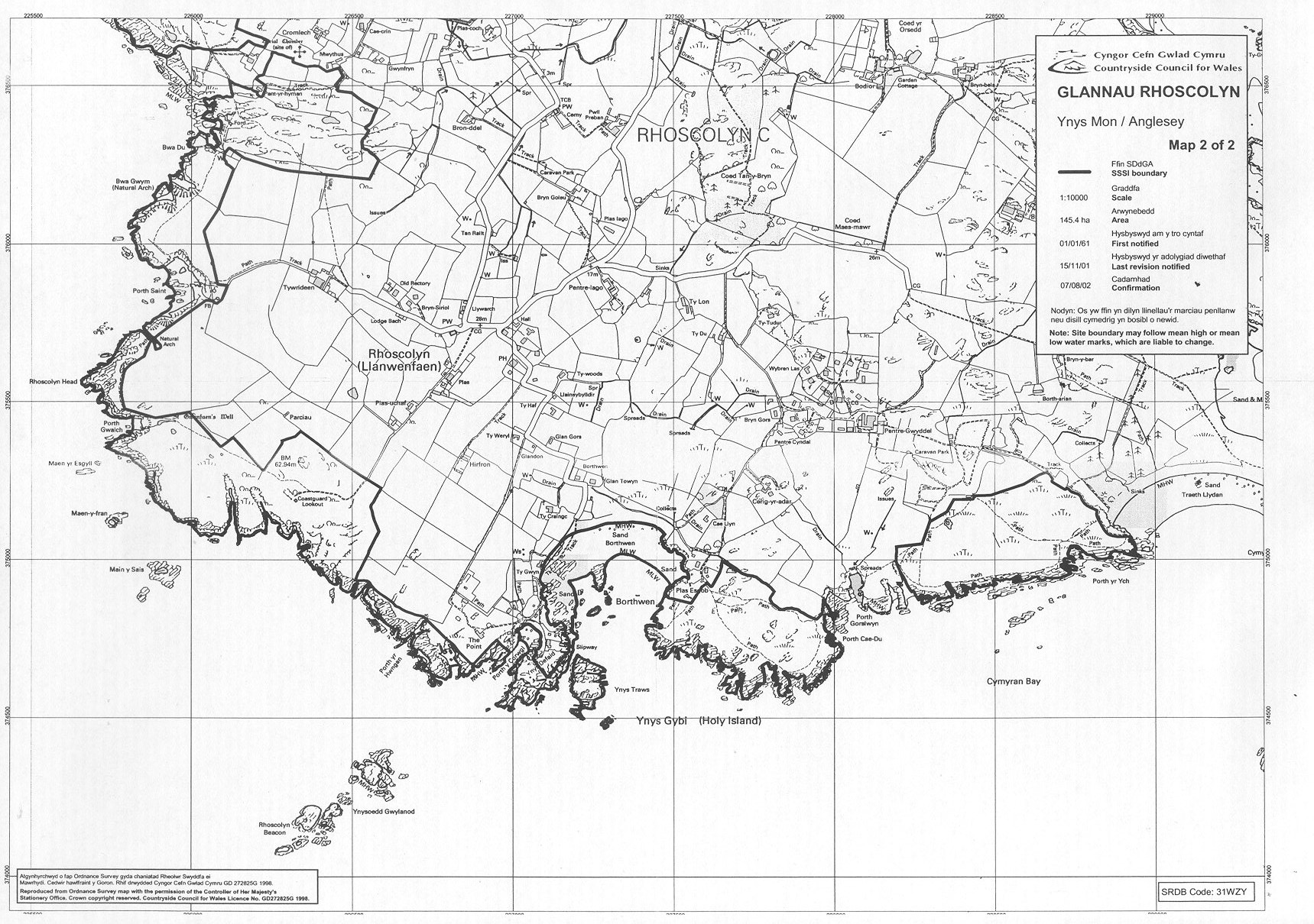
GLANNAU RHOSCOLYN SSSI (SPA)- SOUTH (MAP 2)
This spectacular coastline, one of
the finest stretches of the Anglesey coast, stretches from Trearddur
Bay to Silver Bay and includes some impressive cliffs, sea arches and
caves. There are patches of spotted rock-rose, the county flower,
dotted amongst the heath, and walkers are invariably entertained by an
aerial display from the resident chough. The multiple folds of the
highly metamorphosed Precambrian rocks pose a puzzle or two for
geologists.
Anglesey map
View Map 1 (north)
SSSI Citation
Potentially Damaging Operations list
Site management statement
Vertical aerial photgraph
Map reproduced by permission of
Ordnance Survey ® on behalf of the Controller of Her Majesty's
Stationery Office. © Crown copyright. All rights reserved. License
number 100044910.