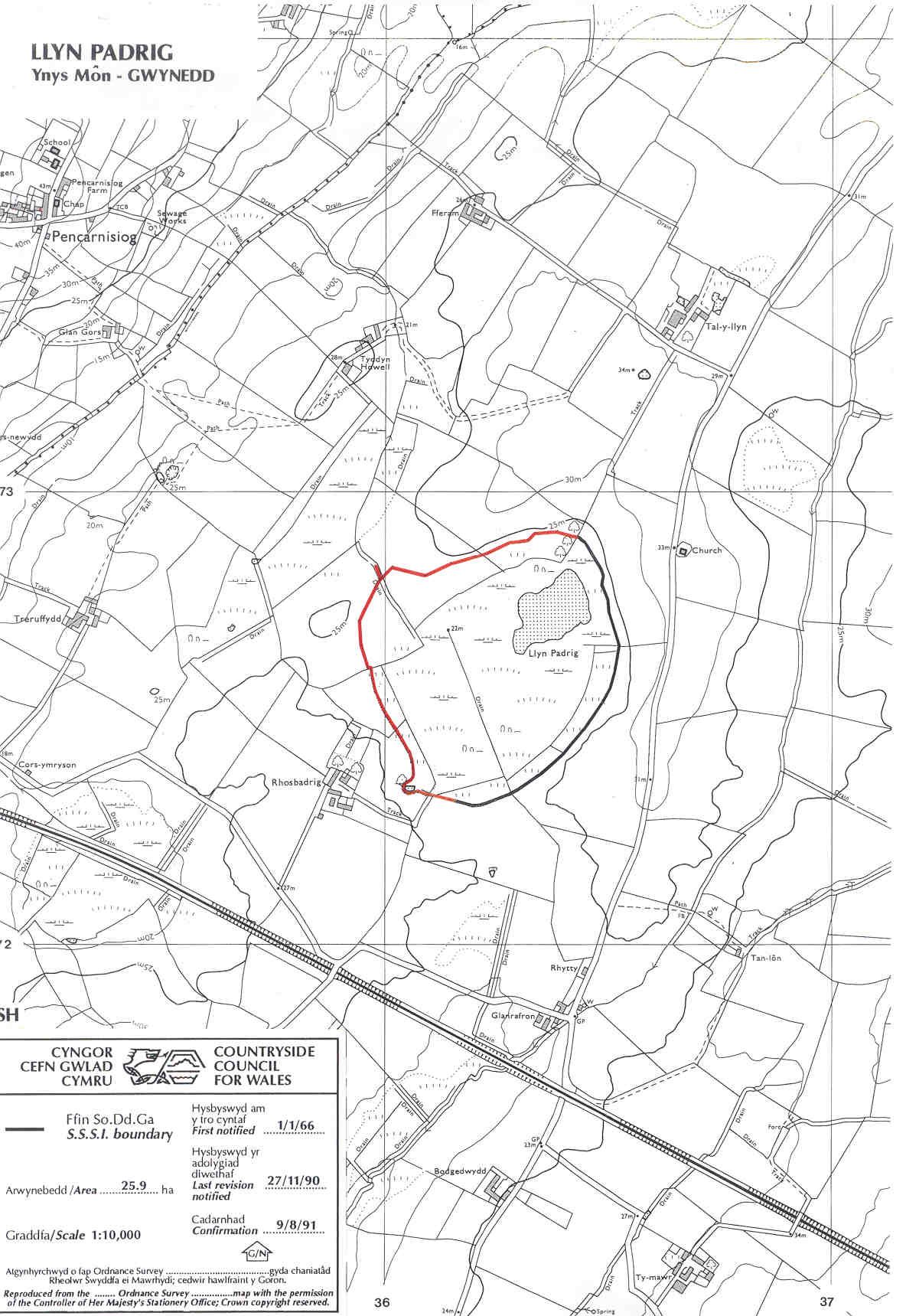
A small basin mire and remnant lake. The site appears to have suffered partial drainage in the latter years of the 19th century, resulting in a reduction of open water and a gradual increase in willow scrub as the floating mire has terrrestrialised. No public right of access.
Potentially Damaging Operations list