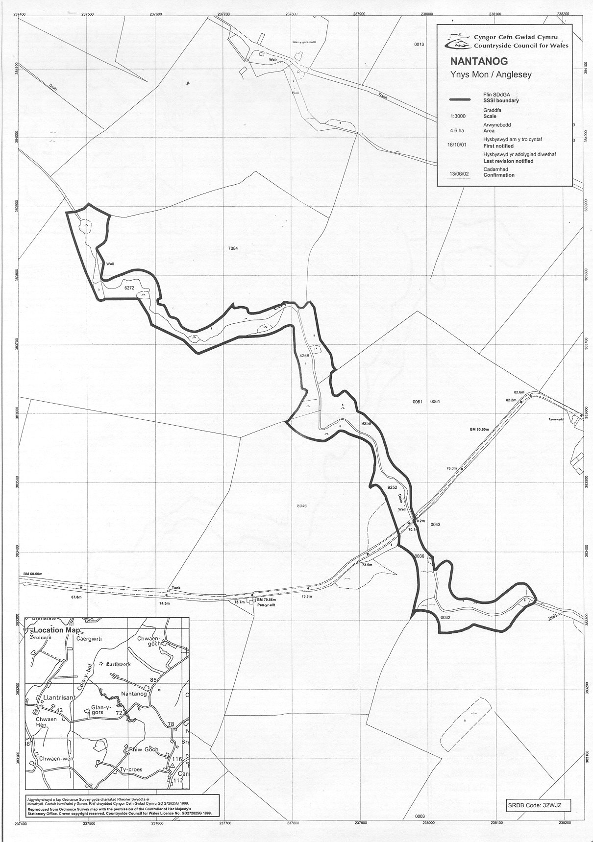
NANTANOG SSSI
This geological exposure of
Ordovician sedimentary rocks occurs in a small incised stream on
farmland. There is no public right of access.
Anglesey map
SSSI Citation
Potentially Damaging Operations list
Site Management Statement
Vertical aerial photograph
Map reproduced by permission of
Ordnance Survey ® on behalf of the Controller of Her Majesty's
Stationery Office. © Crown copyright. All rights reserved. License
number 100044910.